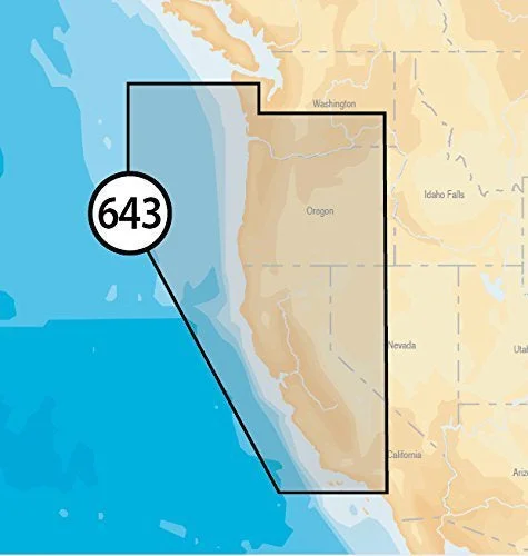
All the same marine content and advanced features found in Navionics+ for GPS plotters are augmented with 3D View, satellite overlay and panoramic photos of marinas and harbors. Consult a broader set of resources, including port services and local points of interest, that can help you head into new waters with confidence.
- Satellite Overlay
- 3D View
- Panoramic Port Photos
- Nautical Chart
- SonarChart
- Community Edits
- Daily Updates
- Dock-to-Dock Autorouting (not in USA on all plotters)
- SonarChart Live
- Advanced Map Options
- Plotter Sync
In The Box:
- 16 GB Navionics Platinum+ MicroSD Card
- USB Card Reader
- Documentation

